Shanbally
Abbeyfeale
Agricultural Land
Asking Price €230,000
Property Overview
Status
For Sale
Land Type
Agricultural Land
Property Financials
Price
Asking Price €230,000
Property Engagement
Views Last 7 Days
13
Views Last 30 Days
109
Views All Time
2,375
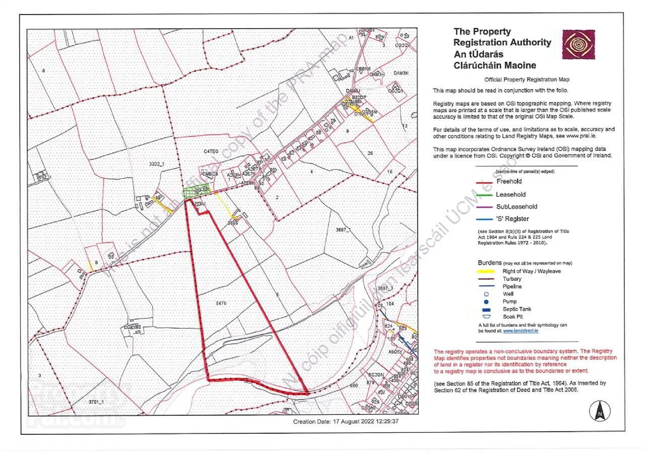
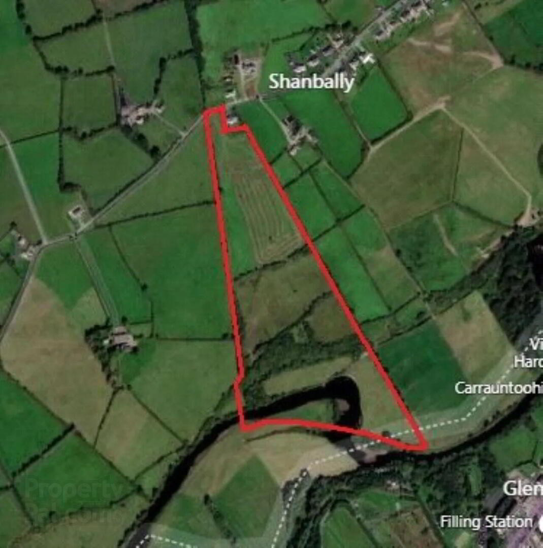
 30.81 Acres / 12.47 HA of grassland contained in folio KY5476. The entrance to the land is adjacent to the public road with the lands extending southerly to the River Feale. The lands can be described as good summer grazing land - located within 2km from the market town of Abbeyfeale. Mains water connection available on the roadside.
 Image is for identification purposes only.
Full details available from sole selling agent.
Sherry FitzGerald Stack, Abbeyfeale
The Square
Abbeyfeale
Co Limerick
+ 353 68 32087
Abbeyfeale is a historical market town in Limerick, near the boundary with County Kerry. The town is in the south west of Ireland, some 21 km (13 mi) from Newcastle West on the N21 – the main road from Limerick to Tralee. The town is situated on the banks of the River Feale in the foothills of the Mullaghareirk Mountains.
The town previously had an abbey, located in the centre of the town square. Church street as it is now know was originally named Chapel street, as can be seen in old period OS maps of the town. The Geraldine Portrinard Castle (or Purt Castle) is situated about 2.5 km northwest of the town, on the northbank of the Feale. An International Airport is planned, most likely to be located in Kilconlea.


