Dromtrasna Collins,
Abbeyfeale
Building Site
Asking price €60,000
Contact Sherry Fitzgerald Stack
PSR Licence: 001412
+353 68 32087
Key Information
Status | For sale |
Price | Asking price €60,000 |
Land type | Building Site |
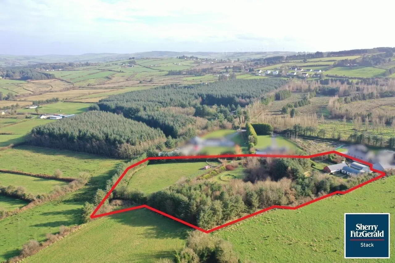
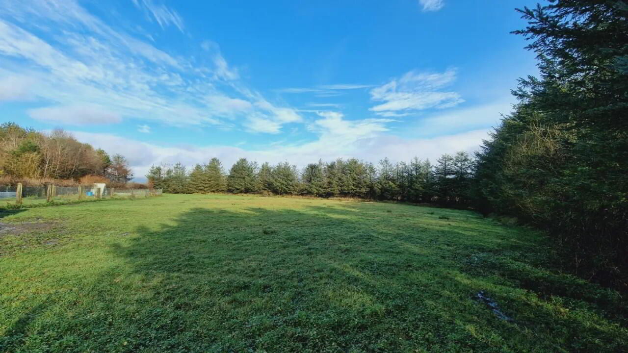
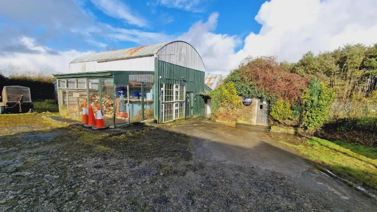
An excellent opportunity to purchase 1.35HA / 3.33 Acres of land complete with outbuildings contained in Folio LK41849F. The lands are located in a private cul de the sac setting just 3km from the market town of Abbeyfeale and all amenities. The lands are free draining, dry and partially wooded. The outbuilding comprises of 2 column round top hay barn and 2 other sheds. Currently configured as dog kennells but suitable for a variety of applications.
Mains water and electicity connected. We have been advised that planning permission was previously granted for a residential dwelling.
Image outlined for identification purposes only. Full details available from the sole selling agent.
Abbeyfeale is a historical market town in Limerick, near the boundary with County Kerry. The town is in the south west of Ireland, some 21 km (13 mi) from Newcastle West on the N21 – the main road from Limerick to Tralee. The town is situated on the banks of the River Feale in the foothills of the Mullaghareirk Mountains.
The town previously had an abbey, located in the centre of the town square. Church street as it is now know was originally named Chapel street, as can be seen in old period OS maps of the town. The Geraldine Portrinard Castle (or Purt Castle) is situated about 2.5 km northwest of the town, on the northbank of the Feale. An International Airport is planned, most likely to be located in Kilconlea.